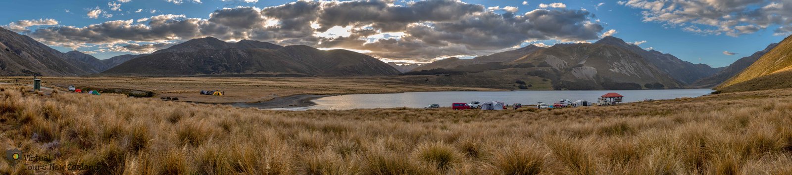
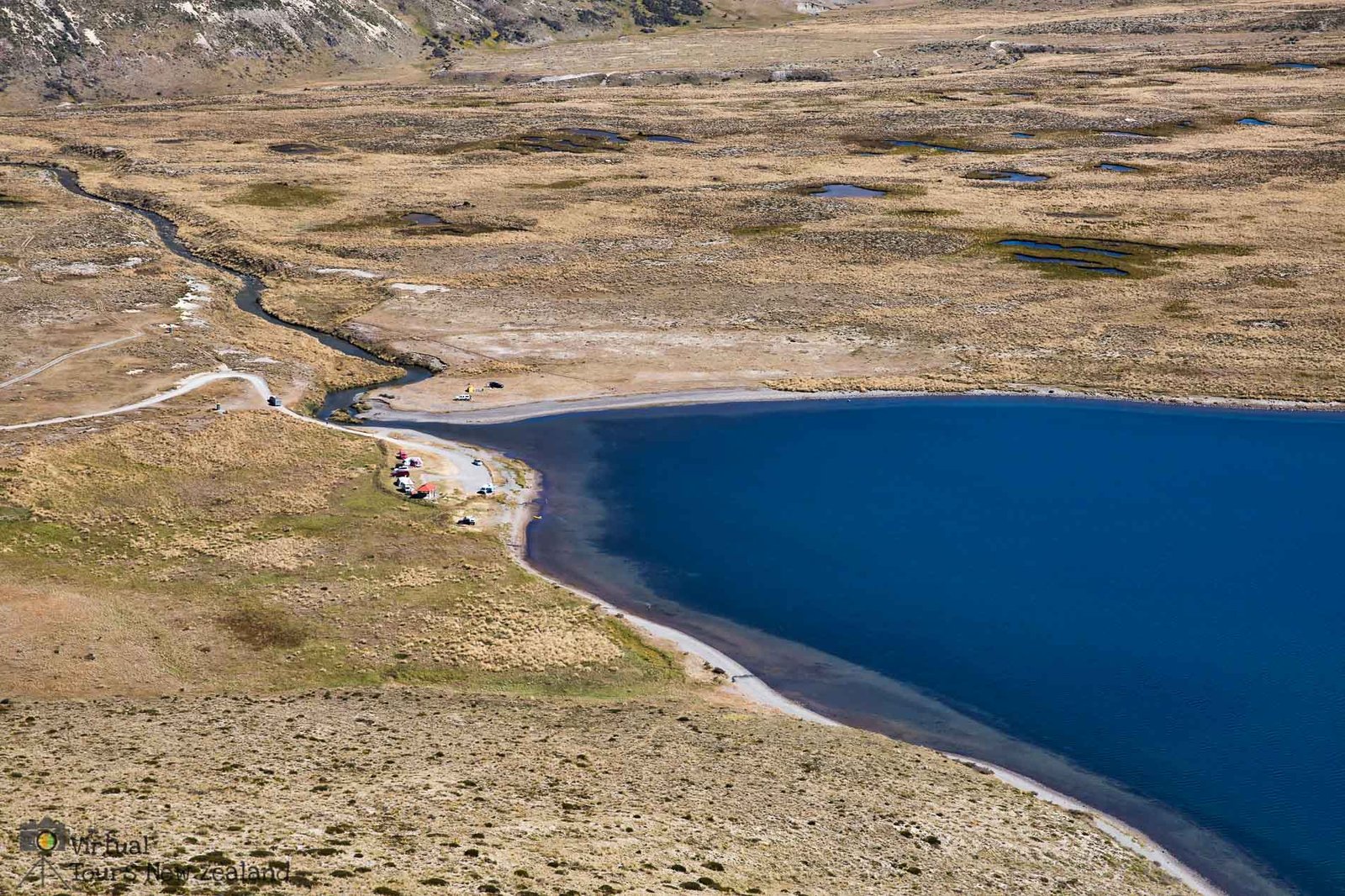
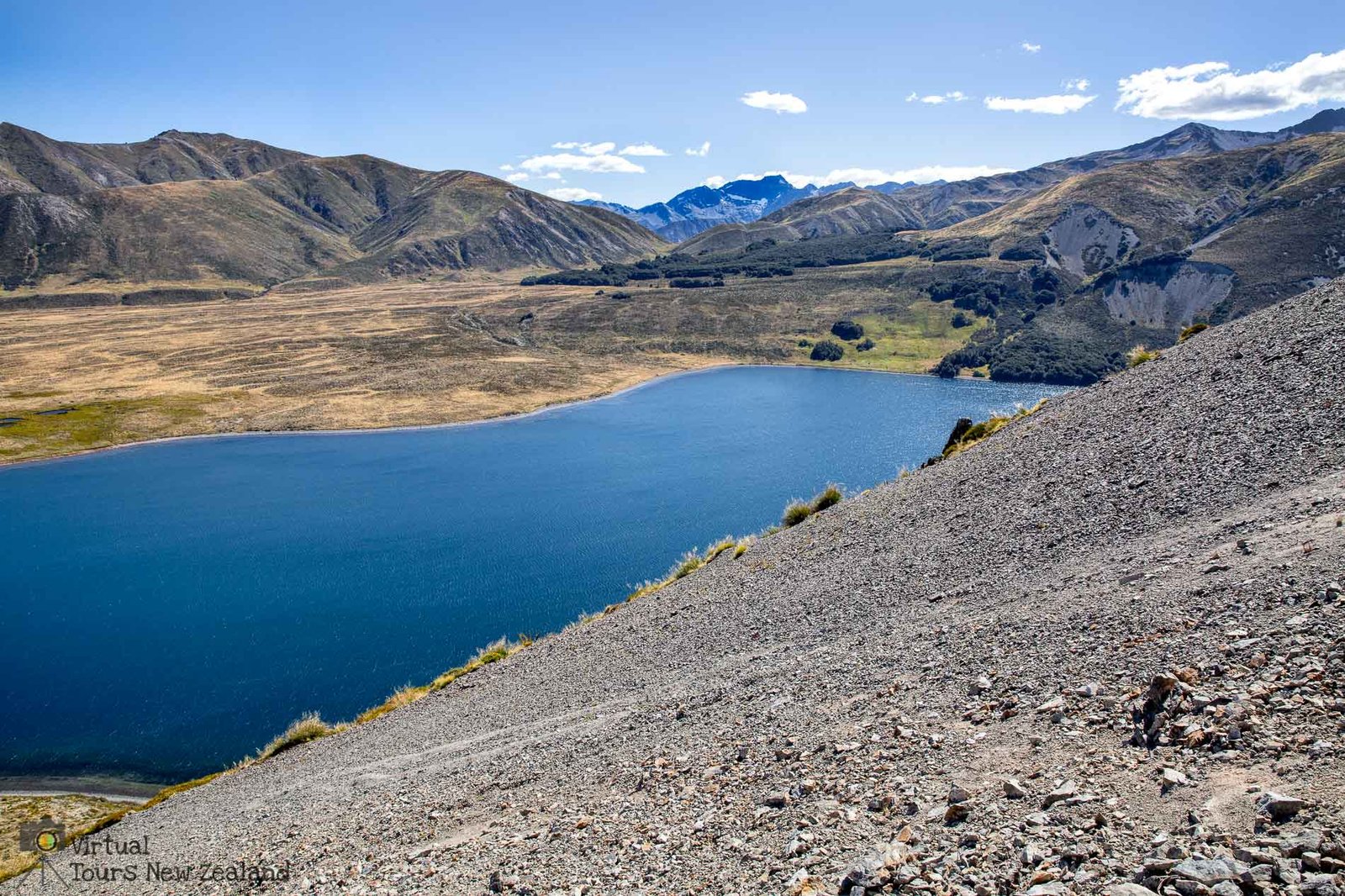
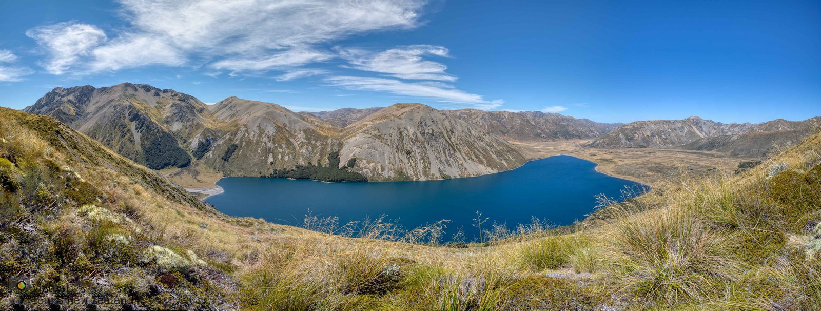
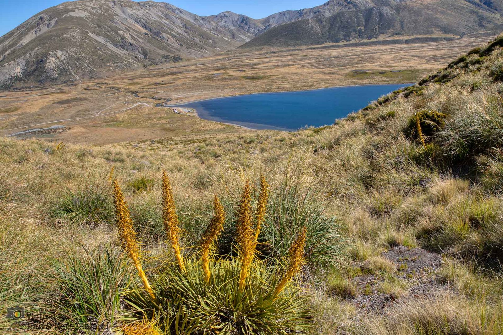
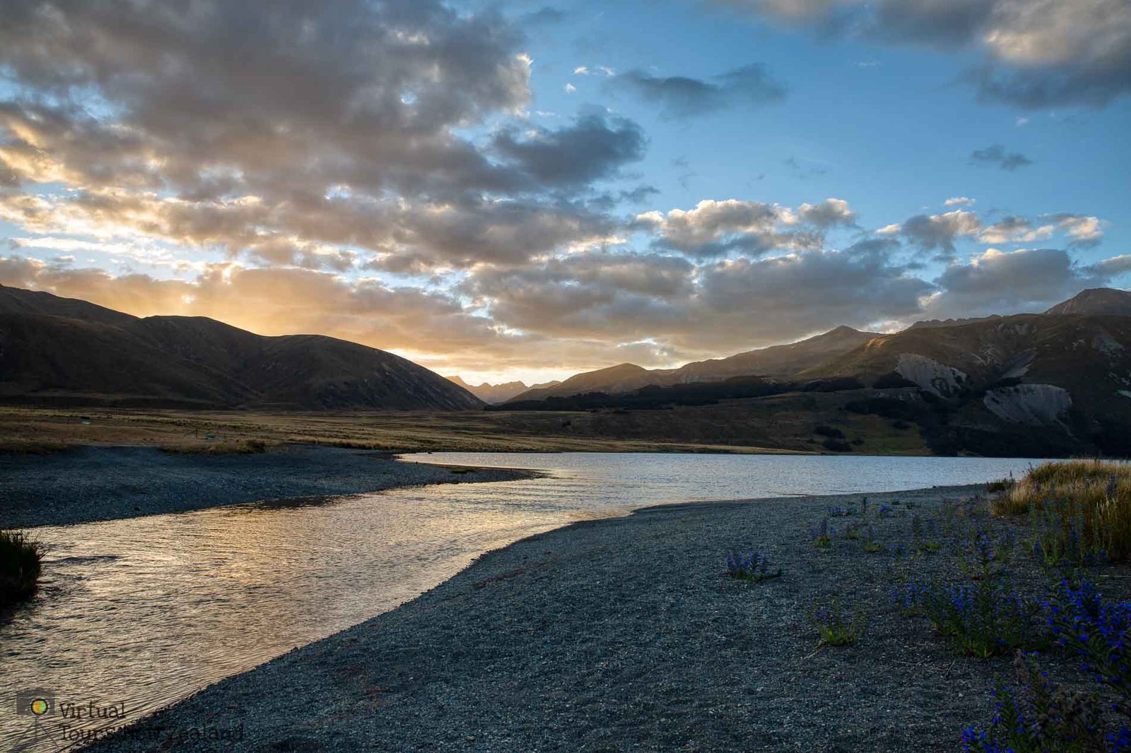
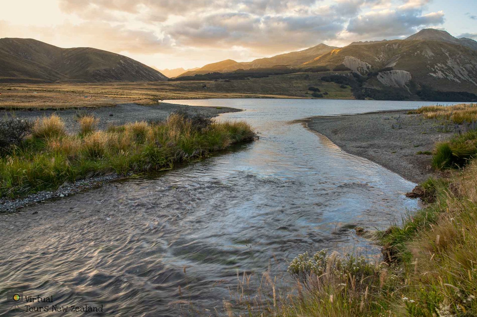
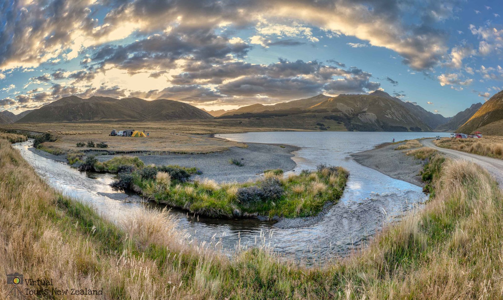
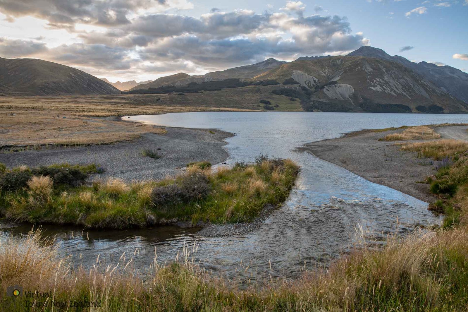
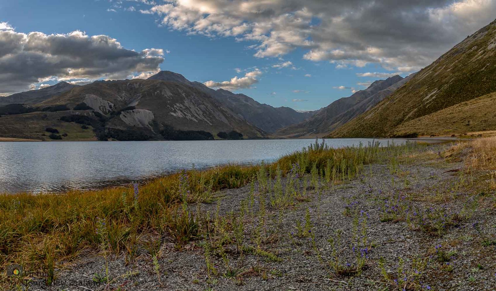
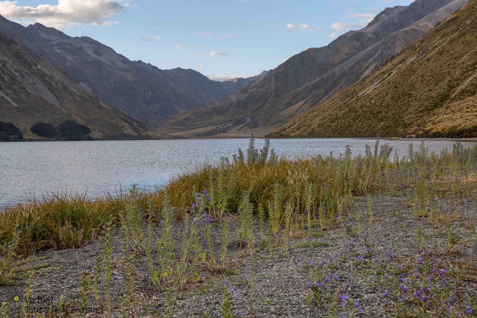
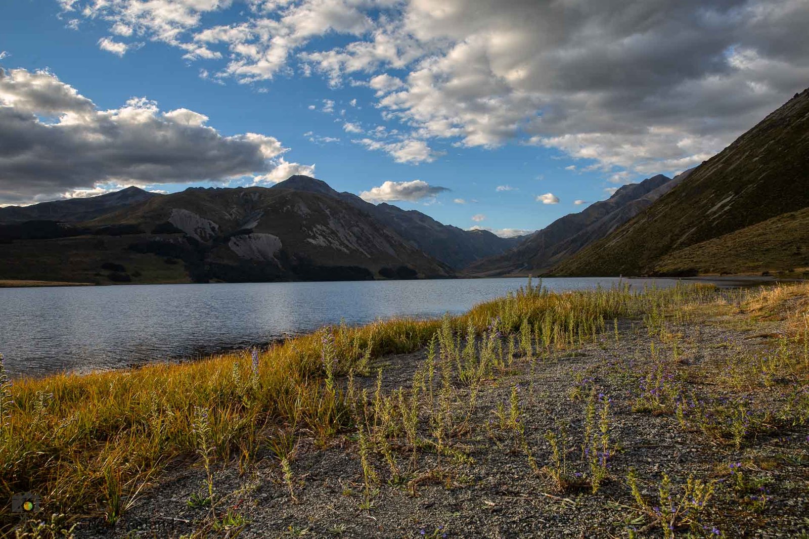
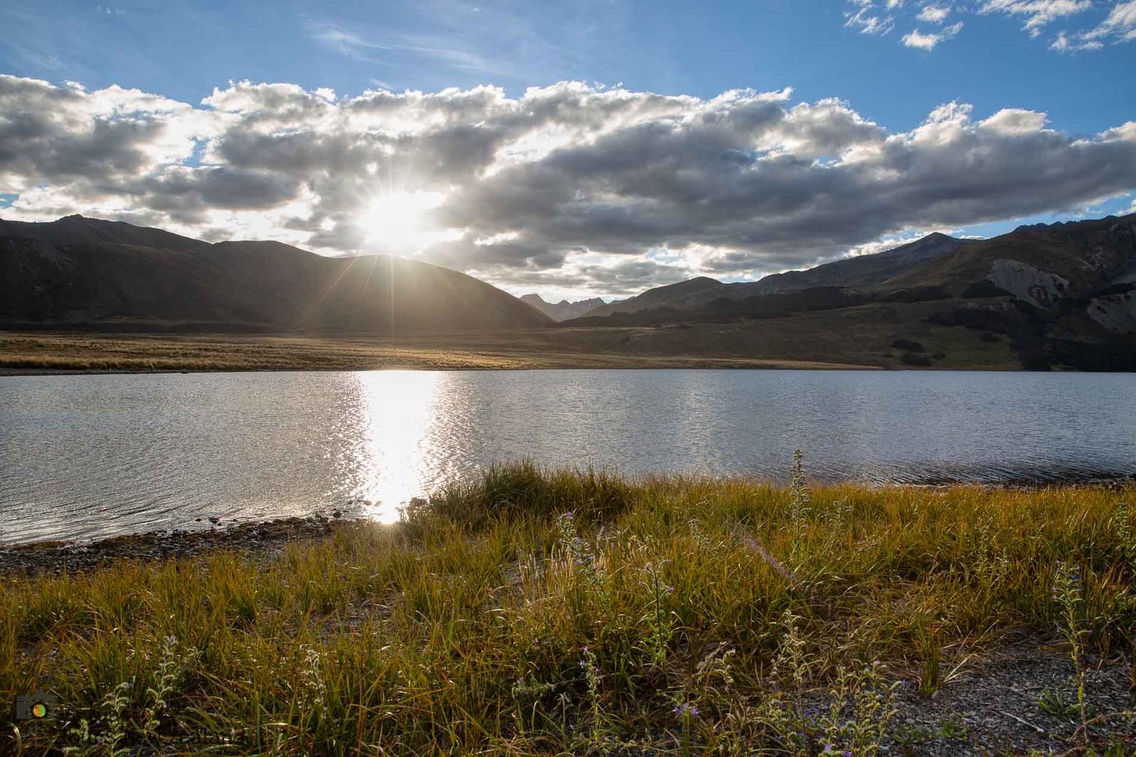
Lake Tennyson is a high country lake, which sits at an altitude of 1102m and has a perimeter of roughly 7.5 km.. The Lake was formed by glacial activity and is held within a basin of surrounding mountains by a moraine wall at its southern end1. A number of small tarns are scattered amongst the moraine at the southern end of the lake. The lake is the headwaters for the Clarence River, which runs through the lake, entering at the northern end of the lake and exiting at the southern end.
It is roughly a 4 hour drive from Christchurch or a 6 hour drive from Nelson, both via Hanmer Springs. If the Rainbow road is taken from St Arnaud through Molesworth Station it reduces the time from Nelson to roughly 3-4 hours, depending on the road conditions.
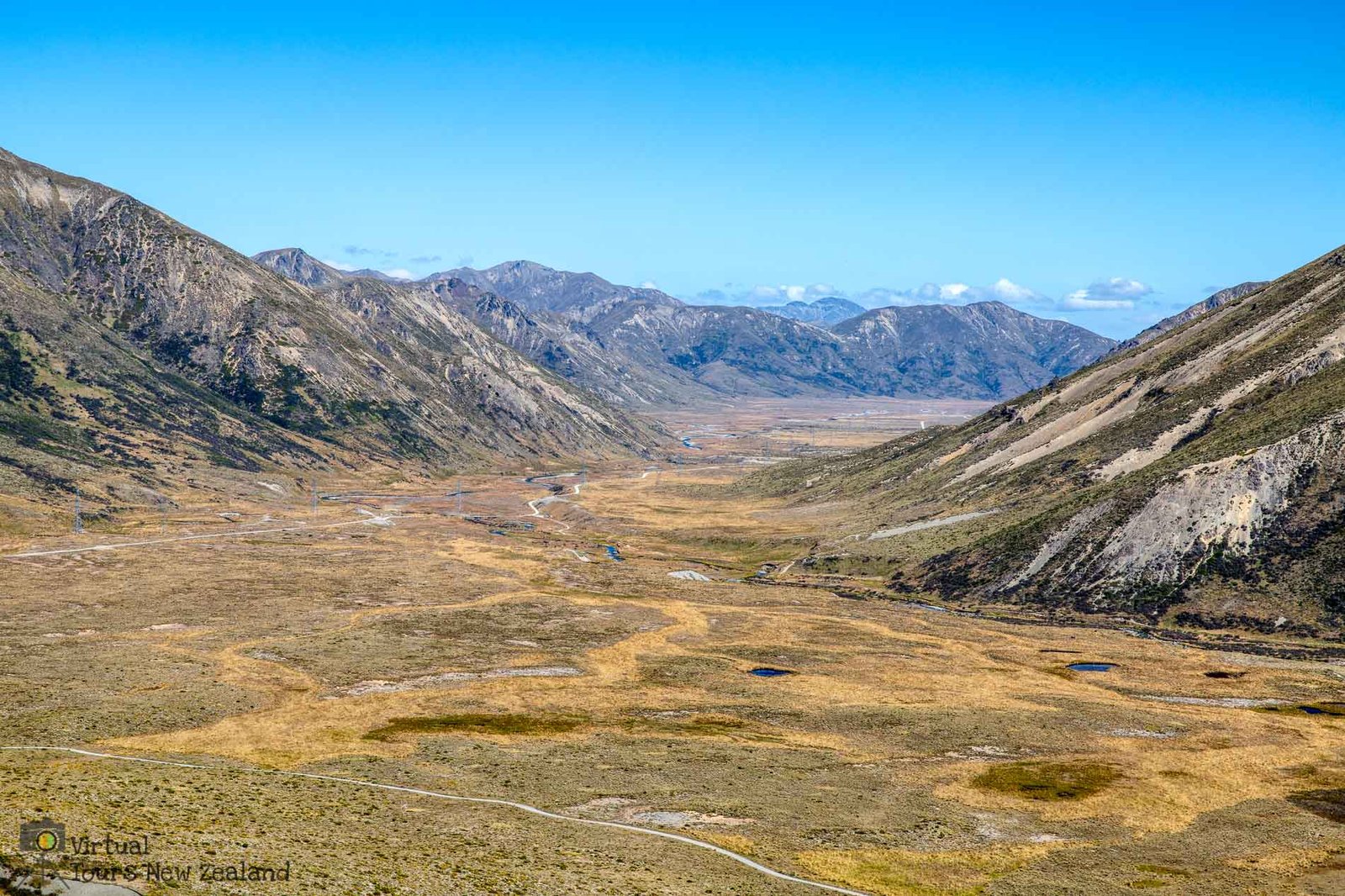
It is an isolated place, yet very picturesque and well worth the traveling over gravel roads to get to. The drive through Rainbow road from St Arnaud passes through Molesworth Station, which is the largest farm in New Zealand. The road is private, and is open between Boxing Day and Easter each year. A toll (currently $40 per vehicle) is collected at a gate part way down the road. It would be recommended to take a 4×4 vehicle as there are a number of small streams to ford. A high clearance two-wheel drive may be suitable during periods of little rain. The road was built originally during the construction of power transmission lines through the area. The pylons are somewhat ugly, but do not detract too much from the stunning scenery encountered during the drive. The road goes over what is claimed as the highest public non-oneway road in New Zealand, at the Island Saddle, which is at 1347m. The saddle is quite close to the turn off to Lake Tennyson. The road from Lake Tennyson to Hanmer Springs is also gravel for the majority of the distance, but is generally wider and straighter than the section before Lake Tennyson so the drive to Hanmer is relatively easy.
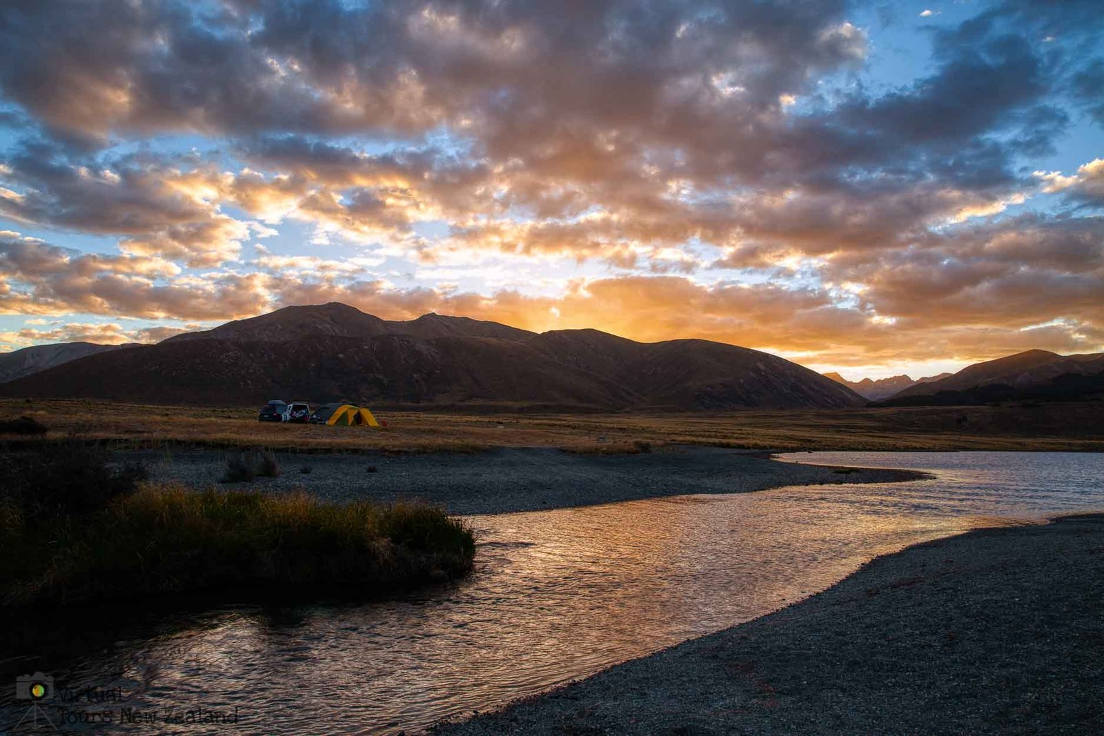
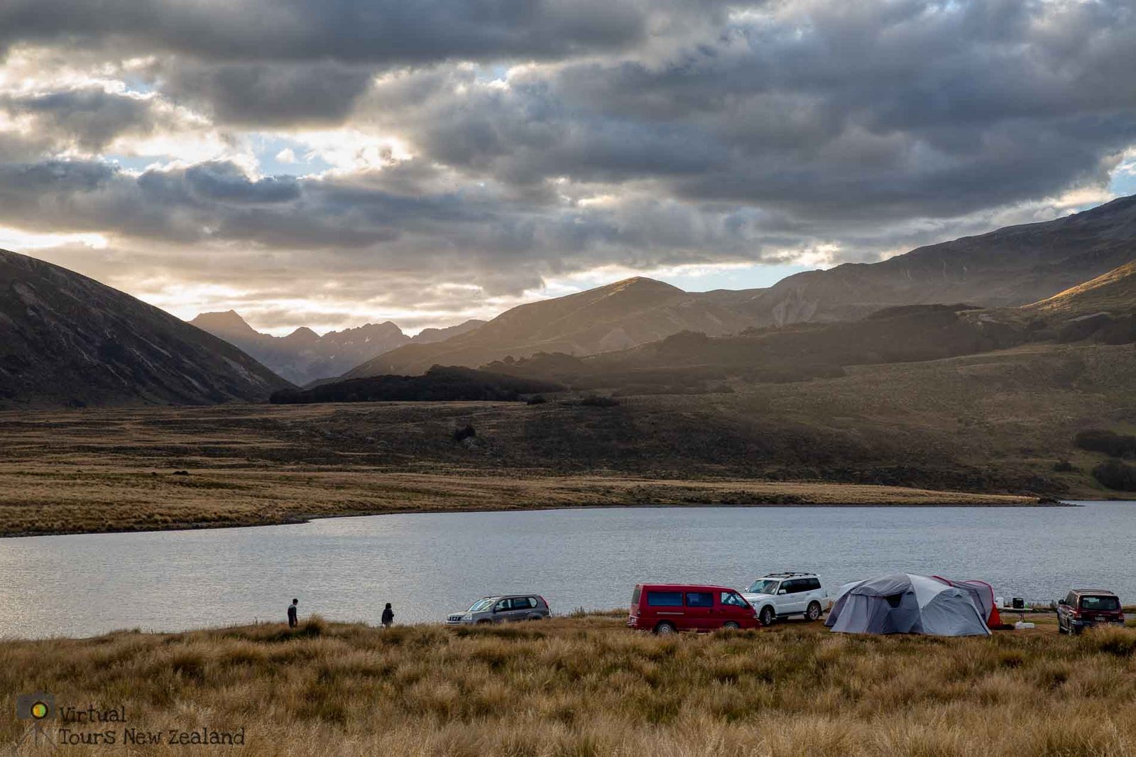
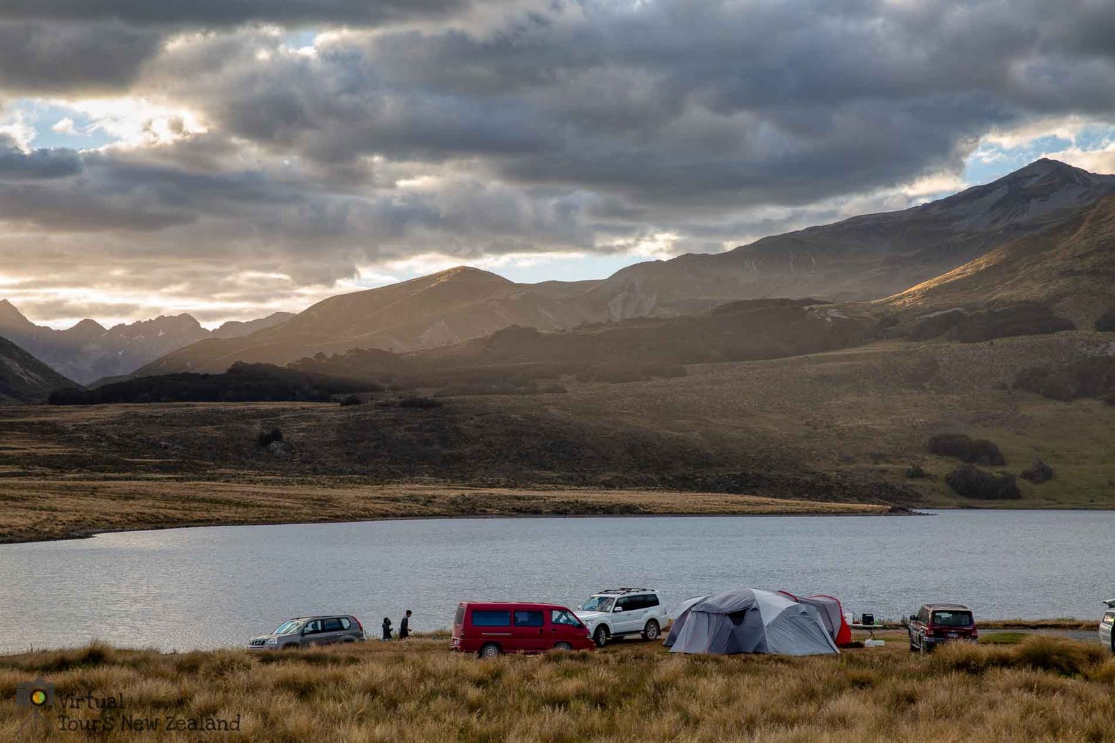
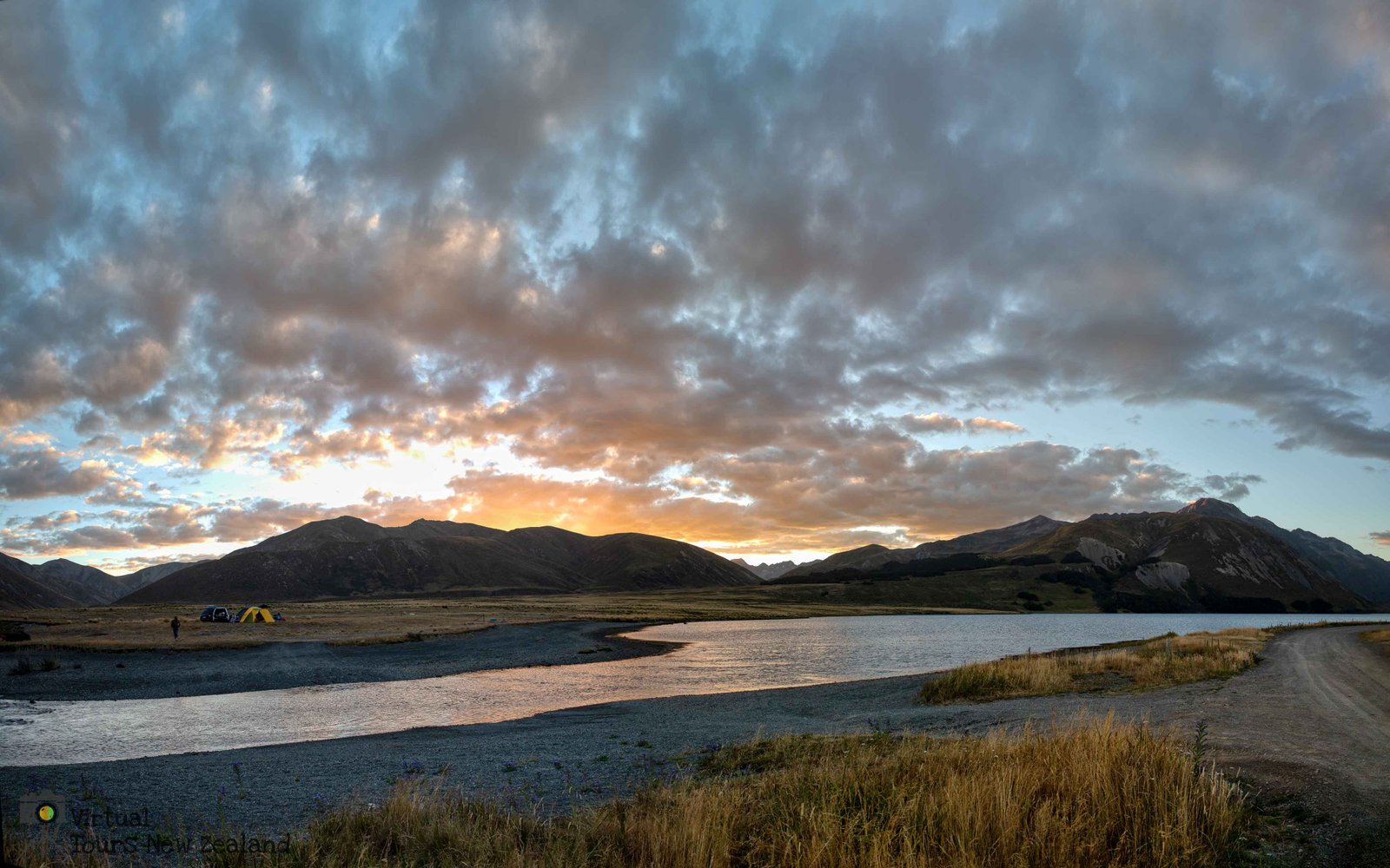
The campsite at the lake is fairly basic with several long-drop toilets and a table under a sun shelter. There is a small flat area for camping adjacent to the lake. Other areas beside the Clarence River or further away from the lake offer potential spots. For high clearance 4×4 vehicles the Clarence River can be forded and several areas are available to camp on the opposite lake shore.
As the lake is alpine and at a high elevation night time temperatures can drop to close to freezing, even during summer, so it is important to have warm clothing or sleeping blankets available.
Trout are present in the lake in reasonable numbers and many could be seen feeding on the surface both early morning and later in the day during February.
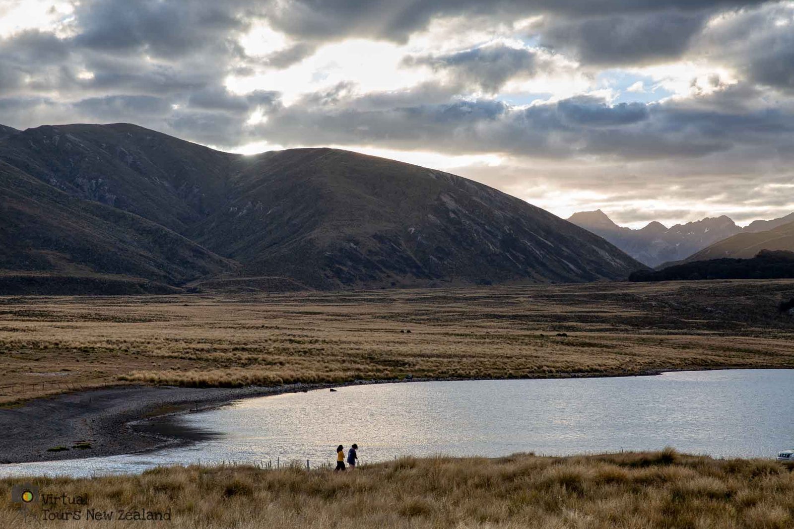
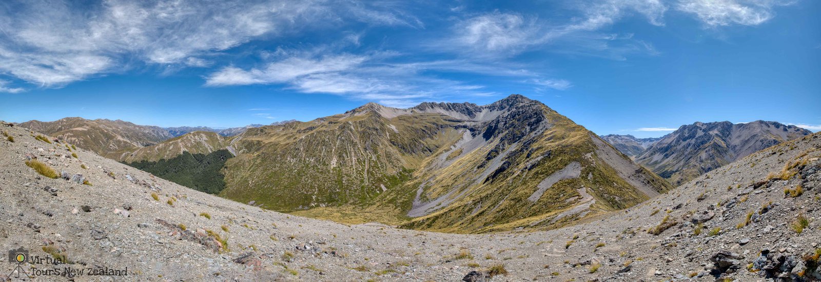
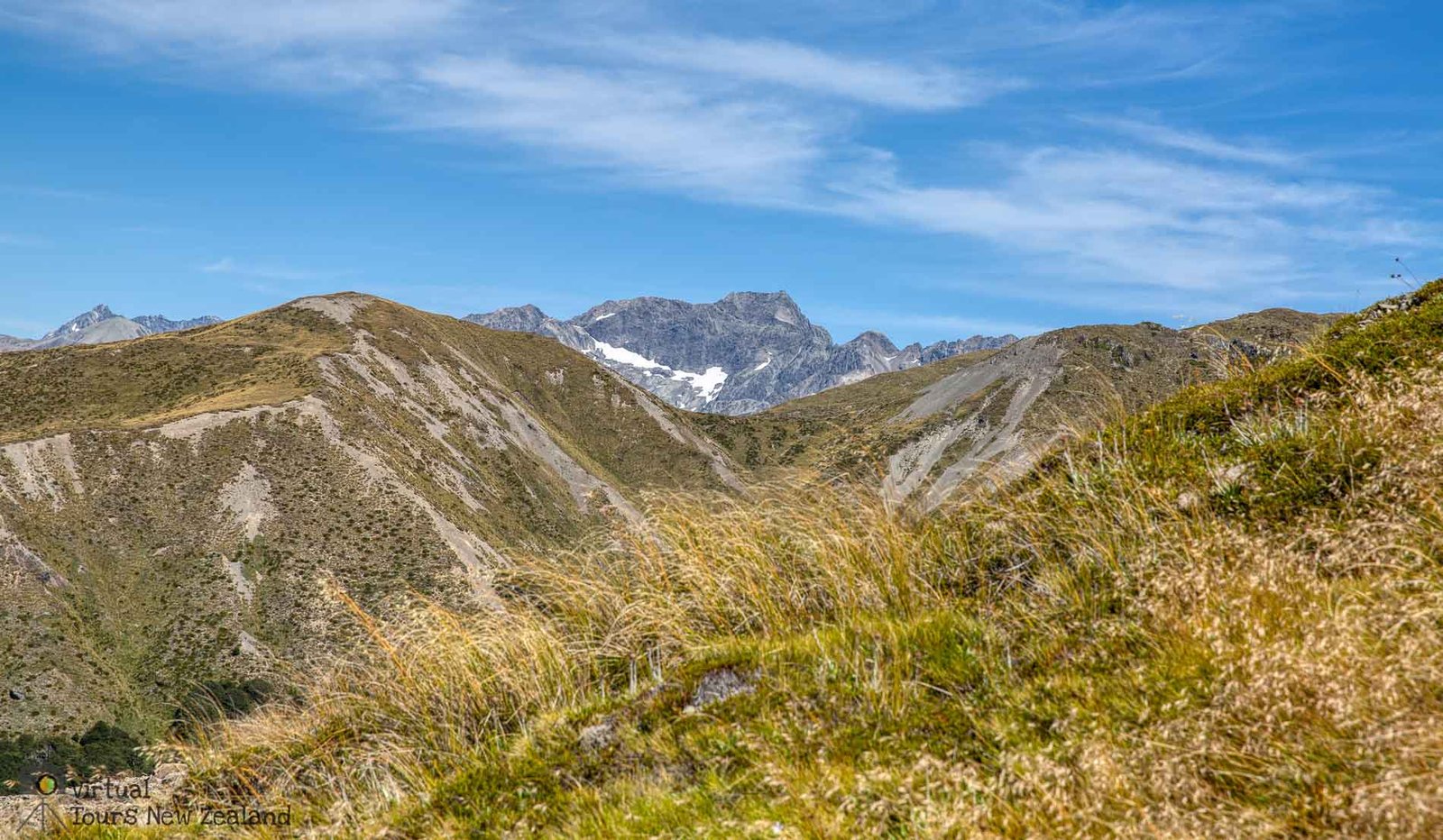
The surrounding mountains offer good day walks and in particular Mt. Princess which is the highest peak surrounding the lake could be easily summited in a day’s hike from the lake shore. It is possible also to walk around the shoreline, and during the time I spent there a number of fly fishers were doing that.
The remote area of the lake allows for little light pollution at night allowing for wonderful views of the night sky and the Milky Way arching across the lake.
The 360-panoramic tour to the right shows the beauty of the area during both the night and day.
1 J. P. McCalpin (1992) Glacial and postglacial geology near Lake Tennyson, Clarence River, New Zealand, New Zealand Journal of Geology and Geophysics, 35:2, 201-210, DOI: 10.1080/00288306.1992.9514514